Exploring Croatia’s D8: A Technical Overview for Motorcyclists
Locals know best!
If you travel this road often or live close by you will be given a chance to provide your valuable rating soon! Sign in and stay connected.Location and Route Overview
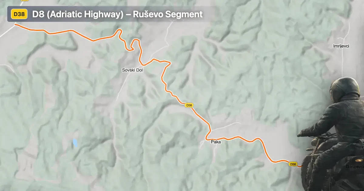
The segment of the D8 discussed here is located in eastern Croatia, beginning near the village of Ruševo. Unlike the more famous coastal stretches, this inland portion traverses gently rolling terrain, connecting rural settlements and agricultural landscapes. The road runs for approximately 9.9 km (6.2 miles), with elevations ranging from 156 m (512 ft) to 261 m (856 ft). For those interested in precise navigation, an interactive map of this road segment is available at the end of the article.
Loading road width, lane configuration, and surface quality dataOpen Map Explorer for More Road DetailsRoad Characteristics and Riding Experience
This section of the D8 is characterized by its predominantly wide carriageway (about 88% of the route), with the remainder being of medium width. The road surface is asphalt and is generally of high quality, rated as very good. Riders will encounter a route that is moderately curved, offering a balance between straight sections and gentle bends. The road features two lanes throughout almost its entire length (about 98%), providing ample space for overtaking and maneuvering. The route passes through sparsely inhabited areas, with only about 1% of the road traversing settlements, making it suitable for uninterrupted riding.
Speed Limits and Elevation Profile
The maximum speed permitted on this segment varies between 30 km/h (19 mph) and 50 km/h (31 mph), depending on proximity to inhabited areas and road conditions. The elevation profile is relatively mild, with a difference of 105 m (344 ft) between the lowest and highest points. This makes the route accessible to riders of all experience levels, without the challenges posed by steep gradients or sharp elevation changes.
Road Closures and Seasonal Considerations
There are no known restrictions specifically affecting motorcycles on this segment of the D8. The road remains open throughout the year, with no regular winter closures. However, temporary closures may occur due to roadworks or local events. Riders are advised to consult the Croatian Automobile Club (HAK) for up-to-date information on road conditions and closures before setting out.
Tolls, Fees, and Further Information
This inland section of the D8 does not currently require the payment of tolls or entrance fees for motorcycles. It is important to note that toll conditions may change in the future, and riders should verify the latest information on the HAK website. For those interested in exploring nearby attractions, the region is known for its rural landscapes and proximity to the Slavonia region, which offers a glimpse into traditional Croatian culture and history.
| ROAD SCORE | ROAD ARTICLE |
|---|---|
4.2 | Exploring the Ulica Vladimira Nazora – Orljavska Ulica Route: A Motorcyclist’s Guide in Croatia |
4 | Exploring the Đurđevac–Bjelovar Route: A Motorcyclist’s Guide |
| ROAD SCORE | ROAD ARTICLE |
|---|---|
8.7 | Riding the Poklon Pass: Exploring Županijska cesta 5047 through Učka Nature Park |
7 | Exploring the Rijeka–Gornje Jelenje Pass: A Motorcyclist’s Guide |
7 | Adriatic Route - Jadranska Magistrala - Velebit Coastal Route |