Exploring the Imotski Lakes Route: Riding Lokalna cesta 67147 in Croatia
Locals know best!
If you travel this road often or live close by you will be given a chance to provide your valuable rating soon! Sign in and stay connected.Location and Regional Context
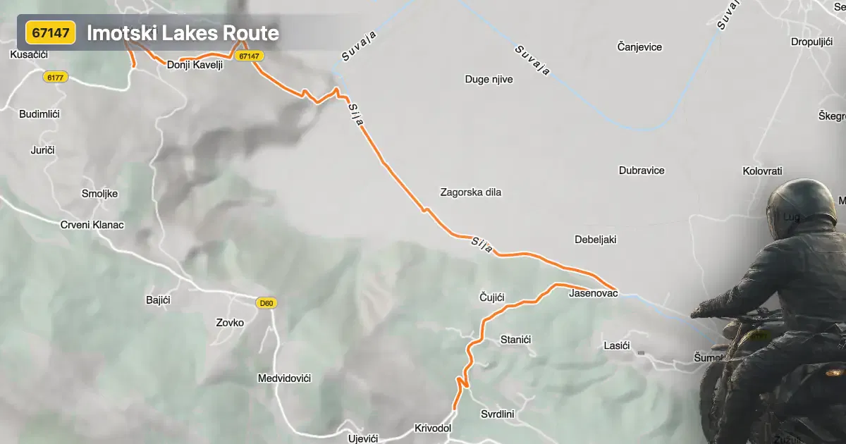
Lokalna cesta 67147 is situated in the Split-Dalmatia County of southern Croatia, connecting the rural village of Lokvičići with the historic town of Imotski. The road runs through a landscape characterized by rolling hills and karst terrain, typical of the Dalmatian hinterland. Imotski is particularly renowned for its proximity to the Blue Lake and Red Lake, two unique sinkhole lakes that attract visitors from across the region. An interactive map showing the route of Lokalna cesta 67147 can be found at the end of this article.
Loading road width, lane configuration, and surface quality dataOpen Map Explorer for More Road DetailsRoad Characteristics and Riding Experience
The Imotski Lakes Route covers a distance of approximately 7.4 km (4.6 miles), with elevations ranging from 267 m (876 ft) to 493 m (1,617 ft). The road surface is asphalt, offering a moderate quality ride that is generally reliable but may present occasional rough patches. The route is moderately twisty, providing a mix of gently curved and more engaging sections, making it suitable for riders seeking a varied experience without extreme technical demands. The road width varies, with about 43% being wide, 47% of middle width, and 8% narrow, while lane configuration is predominantly single-lane (about 48%), with some stretches offering two lanes (about 14%). Only a small portion (3%) passes through inhabited areas, ensuring a largely uninterrupted ride through rural landscapes.
Nearby Attractions and Points of Interest
The primary draw for riders on Lokalna cesta 67147 is its proximity to the natural wonders of the Imotski region. The Blue Lake is a deep sinkhole lake known for its vivid coloration and seasonal water level changes, while the Red Lake is notable for its dramatic cliffs and depth. Both lakes are easily accessible from Imotski and are considered must-see destinations for visitors to the area. The town of Imotski itself offers historical architecture, local cuisine, and a relaxed atmosphere, making it a worthwhile stop for motorcyclists exploring southern Croatia.
Road Closures, Seasonal Access, and Regulations
Lokalna cesta 67147 is generally open to motorcycles year-round. There are no regular seasonal closures, although temporary restrictions may occur due to roadworks or local events. Riders should be aware that weather conditions in the region can vary, with occasional heavy rain or fog affecting visibility and traction, particularly in the cooler months. It is advisable to check local traffic updates before setting out, especially during periods of adverse weather.
Tolls, Fees, and Practical Information
There are currently no tolls or entrance fees required to ride Lokalna cesta 67147. However, toll conditions may change in the future, and riders are encouraged to verify the latest information through official sources such as the Croatian Automobile Club (HAK). Fuel stations and basic services are available in Imotski, but options are limited in the surrounding rural areas, so planning ahead is recommended.
| ROAD SCORE | ROAD ARTICLE |
|---|---|
5.4 | Exploring Lokalna cesta 67146: A Technical Ride in Croatia |
4.6 | Exploring Državna cesta D60: A Technical Overview for Motorcyclists |
| ROAD SCORE | ROAD ARTICLE |
|---|---|
8.7 | Riding the Poklon Pass: Exploring Županijska cesta 5047 through Učka Nature Park |
7 | Exploring the Rijeka–Gornje Jelenje Pass: A Motorcyclist’s Guide |
7 | Adriatic Route - Jadranska Magistrala - Velebit Coastal Route |