Exploring Lokalna cesta 67142: A Technical Ride in the Dalmatian Hinterland
Locals know best!
If you travel this road often or live close by you will be given a chance to provide your valuable rating soon! Sign in and stay connected.Location and Setting of Lokalna cesta 67142
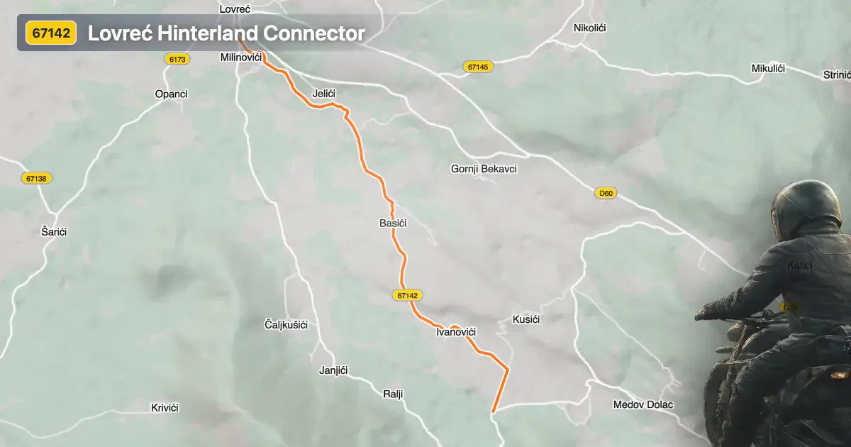
Lokalna cesta 67142 is situated in southern Croatia, within the Split-Dalmatia County. The road traverses the rural landscape northeast of the coastal city of Split, connecting areas near the village of Lovreć. This region is characterized by rolling hills, agricultural fields, and scattered settlements, offering a glimpse into the quieter side of Dalmatia. The road’s proximity to Lovreć makes it accessible for riders looking to explore inland routes. An interactive map showing the exact route of Lokalna cesta 67142 can be found at the end of this article.
Loading road width, lane configuration, and surface quality dataOpen Map Explorer for More Road DetailsTechnical Details and Riding Experience
Lokalna cesta 67142 extends for approximately 5.7 km (3.5 miles), with elevations ranging from 432 m (1,417 ft) to 529 m (1,736 ft). The road surface is asphalt and is generally in good condition, rated as above average for the region. Riders will encounter a moderately twisty alignment, making it suitable for those who appreciate a balance between straight sections and gentle curves. The majority of the road is of medium width (about 90%), with a smaller portion being narrow. Most of the route consists of a single lane, with only a short segment offering two lanes. Inhabited areas are minimal, with only about 7% of the road passing through settlements, allowing for an uninterrupted riding experience.
Local Attractions and Points of Interest
While Lokalna cesta 67142 itself is primarily a connector through rural landscapes, its location near Lovreć provides access to several points of interest. The village of Lovreć is known for its traditional Dalmatian architecture and proximity to the Imotski Lakes, including the famous Blue Lake and Red Lake. These karst lakes are unique geological features and are popular among visitors for their striking appearance and natural beauty. Riders can also explore the broader Dalmatian hinterland, which offers a contrast to the more frequented Adriatic coast.
Road Closures, Seasonal Access, and Regulations
There are currently no known restrictions or closures for motorcycles on Lokalna cesta 67142. The road remains open throughout the year, as the region experiences mild winters with only occasional snowfall. However, riders should always check local weather conditions before planning a trip, as rural roads may be affected by temporary closures due to maintenance or adverse weather. No event-related closures have been reported for this route.
Tolls, Fees, and Practical Information
Lokalna cesta 67142 does not have any tolls or entrance fees for motorcycles or other vehicles. Riders should be aware that toll conditions in Croatia may change in the future, and it is advisable to consult official resources for the most up-to-date information. For comprehensive details on road tolls and fees in Croatia, visit the HAK (Croatian Automobile Club) website.
| ROAD SCORE | ROAD ARTICLE |
|---|---|
4.6 | Exploring Državna cesta D60: A Technical Overview for Motorcyclists |
4.3 | Exploring Ulica Lovrećkih žrtava: A Technical Overview for Motorcyclists |
| ROAD SCORE | ROAD ARTICLE |
|---|---|
8.7 | Riding the Poklon Pass: Exploring Županijska cesta 5047 through Učka Nature Park |
7 | Exploring the Rijeka–Gornje Jelenje Pass: A Motorcyclist’s Guide |
7 | Adriatic Route - Jadranska Magistrala - Velebit Coastal Route |