Exploring the Sevnica–Planina pri Sevnici Road: A Technical Overview for Motorcyclists
Locals know best!
If you travel this road often or live close by you will be given a chance to provide your valuable rating soon! Sign in and stay connected.Location and Route Overview
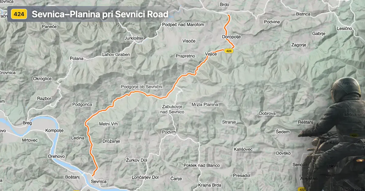
The Sevnica–Planina pri Sevnici road is situated in eastern Slovenia, connecting the town of Sevnica with the village of Planina pri Sevnici. The route passes through the settlements of Orešje nad Sevnico and Vezovje, traversing a region characterized by rolling hills and rural landscapes. Sevnica, known for its medieval castle and historical significance, serves as the primary gateway to this road. An interactive map showing the precise route can be found at the end of this article.
Loading road width, lane configuration, and surface quality dataOpen Map Explorer for More Road DetailsRoad Characteristics and Riding Experience
The Sevnica–Planina pri Sevnici road extends for approximately 19.5 km (12.1 miles), offering a ride that is gently curved rather than highly twisty. The road surface is asphalt and is generally rated as very good, providing a smooth and predictable riding experience. Most of the route (about 86%) consists of two lanes, with the majority (about 81%) being wide enough to comfortably accommodate motorcycles and other vehicles. Only a small portion is single-lane, and narrow sections are virtually absent. The elevation ranges from 181 m (594 ft) near Sevnica to 591 m (1,939 ft) near Planina pri Sevnici, resulting in moderate climbs and descents that add interest without presenting significant technical challenges. Approximately 31% of the road passes through inhabited areas, so riders should remain attentive to local traffic and potential pedestrian activity.
Local Attractions and Points of Interest
While the road itself is primarily valued for its riding quality, the surrounding area offers several attractions worth noting. Sevnica Castle is a prominent historical site, perched above the town and offering panoramic views of the Sava River valley. The village of Planina pri Sevnici is known for its traditional rural architecture and proximity to the Kozjansko Regional Park, a protected area recognized for its biodiversity and natural beauty. Riders may also encounter local vineyards and orchards along the route, reflecting the region's agricultural heritage.
Seasonal Closures and Access Restrictions
There are no known permanent closures or restrictions for motorcycles on the Sevnica–Planina pri Sevnici road. The route remains open throughout the year, although riders should be aware that winter conditions, such as snow or ice, may temporarily affect accessibility, particularly at higher elevations. Local authorities may implement short-term closures for maintenance or community events, but these are infrequent. It is advisable to check with the Slovenian Traffic Information Center for current road status before planning a trip.
Tolls, Fees, and Practical Information
Currently, there are no tolls or entrance fees required to use the Sevnica–Planina pri Sevnici road. Riders should note that toll conditions may change in the future, and it is recommended to consult the DARS (Motorway Company in the Republic of Slovenia) website for up-to-date information on tolls and vignettes applicable to Slovenian roads. The maximum speed limit along this route is 50 km/h (31 mph), particularly in inhabited areas, and adherence to local traffic regulations is essential for safety and compliance.
| ROAD SCORE | ROAD ARTICLE |
|---|---|
4.3 | Exploring the 680 Rimske Toplice–Jurklošter–Dežno Road: A Motorcyclist’s Guide |
5 | Exploring the Sevnica 142: A Technical Ride in Eastern Slovenia |
3.7 | Exploring the Radeče–Sevnica Riverside Route: A Motorcyclist’s Guide |
| ROAD SCORE | ROAD ARTICLE |
|---|---|
8 | Riding the Magnovec Pass: Ajdovščina to Lokve by Motorcycle |
7.4 | Riding the Podmeja Pass: Žalec to Trbovlje by Motorcycle |
7.4 | Strma Reber Pass: Motorcycling the 656 Kočevska Reka – Osilnica Road |